
Camino Francés · Stage 1 of 33
Stage 1: Saint-Jean-Pied-de-Port to Roncesvalles
- From
- Saint-Jean-Pied-de-Port
- To
- Roncesvalles
- Distance
- 24.2 km
- Climb
- ↑ 1419 m
- Descent
- ↓ 557 m
- Difficulty
- Hard
The hardest day of the whole Camino for many: a long climb over the Pyrenees on the Route Napoléon to about 1,430 m, with almost no services after Orisson.
Orisson is the last place to buy food; there are fountains on the way. Carry warm and rain gear. From 1 November to 31 March the high route is closed and you must take the Valcarlos road, with fines for ignoring it. You can split the day at Orisson or Borda.
Along the way
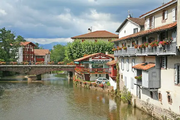
Saint-Jean-Pied-de-Port
A walled Basque town on the Nive river. Pilgrims enter through the Porte Saint-Jacques, part of the UNESCO-listed Routes of Santiago in France, and walk down the cobbled Rue de la Citadelle to the pilgrim office where most people collect their first stamp.
More photos of Saint-Jean-Pied-de-Port →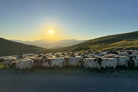
Orisson
The only refuge and café on the climb, about 8 km in. Its terrace looks back over the Basque valleys and it is often fully booked months ahead.
More photos of Orisson →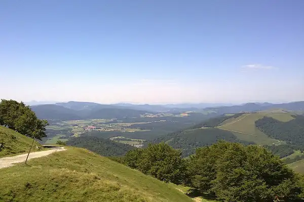
Col de Lepoeder and Ibañeta
The high point of the day. Just below, the Ibañeta pass is linked to the Song of Roland: in 778 Charlemagne's rearguard was ambushed here, and the legend says Roland blew his horn until he died.
More photos of Col de Lepoeder and Ibañeta →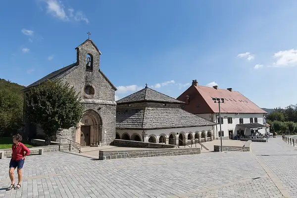
Roncesvalles
A tiny village built around the 13th-century Royal Collegiate Church, the first Gothic church in Spain. The evening pilgrim mass with a special blessing has been held since the Middle Ages.
More photos of Roncesvalles →Where to sleep in Roncesvalles
- Refuge OrissonPrivate
- Albergue de peregrinos de RoncesvallesReligious